 Day 1 – Saturday, June 25 – Home to John Day, OR
The first directions were the easiest: go to I-5, turn south, find breakfast. Naturally, we ate at the same place we eat when we go to Hood Canal in the mornings: Hawks Prairie Inn in Lacey, WA. Eggs, bacon, and back on the road.
 At about 10:15 a.m., we waved goodbye to I-5 (we wouldn’t see it again until late July 1), and entered Oregon on I-205, connected with I-84, and headed east. I-84 is a four lane divided freeway, and as the car in front of me changed lanes to the left, I was jolted quickly out of my thoughts by the most frightening image of the whole trip. I quickly, with a sigh of relief, realized it was being towed, backwards.
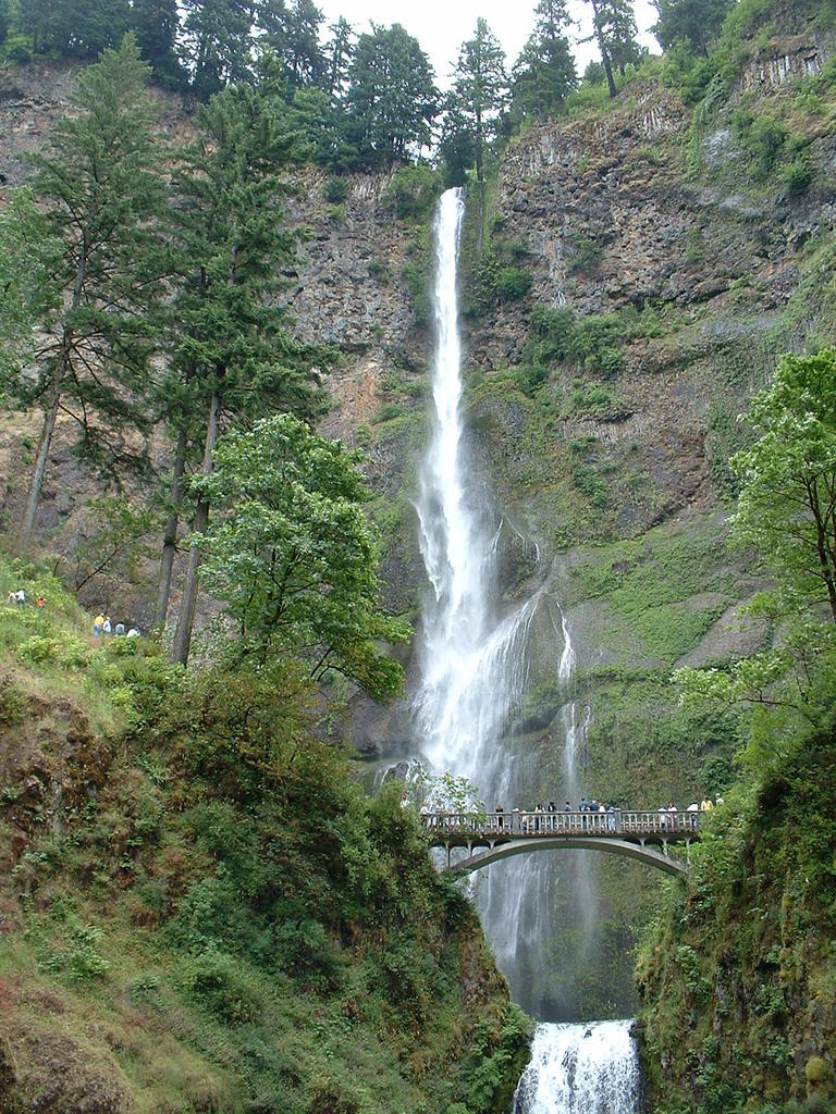
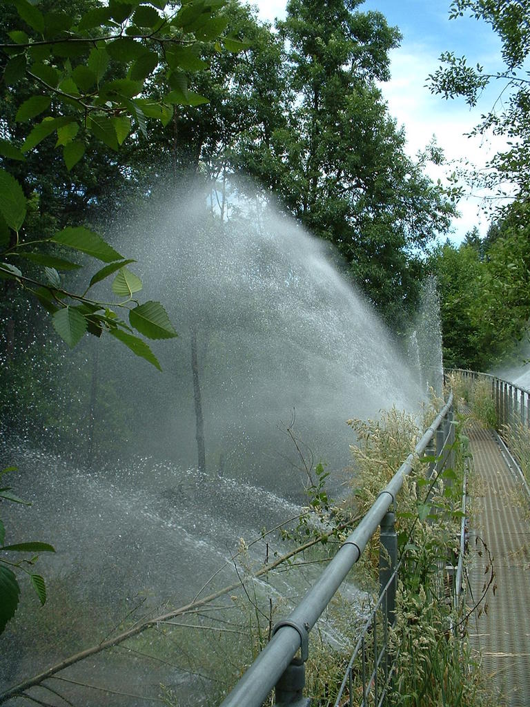
 We were behind schedule at this point, so we didn’t take the full 1.75 mile hike to the cache, but we did hike ¾ mile to the best part of The Pipeline, where water is spraying everywhere and making long lasting rainbows.
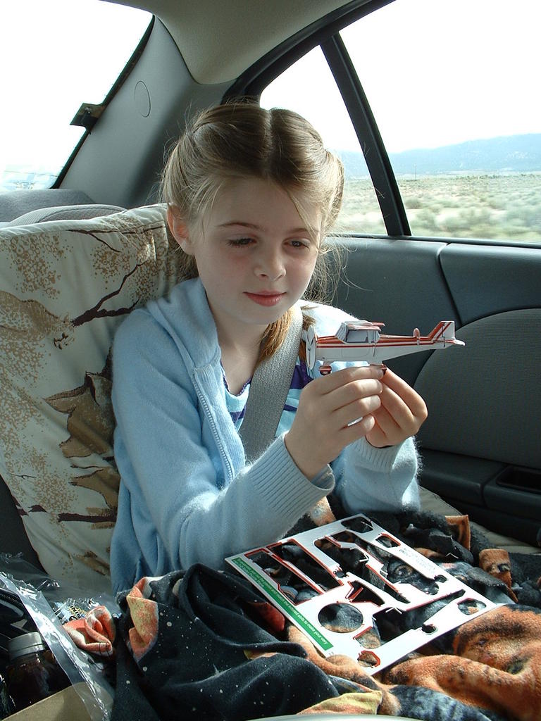 We stopped for lunch at Taco Time in The Dalles, OR, where Krys got a fairly complex model cardboard plane with her kids meal. She spent the next hour in the car assembling it; I was quite impressed.
 We left I-84 in Biggs, OR, passing Linda’s Restaurant on the way (hi, mom!). Ten miles later, we had to release the drinks we consumed in The Dalles, so we kept our eyes open for a place to go. The Wasco Town Park was just the spot – and the cleanest public outhouse I’ve ever seen.
 We continued on, passing wheat field after wheat field (did you know they whisper in the wind – pretty cool!). At about 4:00 we stopped briefly at a roadside “Mountain Identifier”, which pointed out Adams, Shasta, Rainier, and St. Helens.
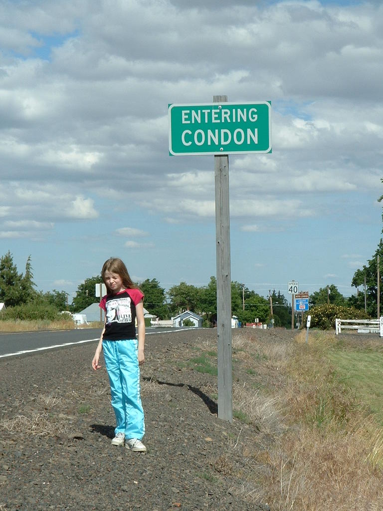 The next major town on the route was Condon, and Krys went into fits of embarrassment every time we mentioned the name of the town, so we took to calling it “La La La” instead. I wanted to take a photo of her with the welcome sign, but she refused until Kim offered her a dollar to do it.

 We crossed the 45th parallel, and entered the town of Fossil. I’d been here geocaching last year, and was looking forward to showing Kim and Krys the fossil pile behind the high school. Unfortunately, some time in the last 13 months, they began charging admission and restricting access, so we left disappointed. We drove through the John Day canyon, admiring the geology, and stopped for a photo op in the town of Kimberly.
Continuing on, we passed through the town of Mount Vernon (MapPoint landmarks: Wagon Wheel Tavern, McKerns Texaco, and the Mt Vernon Trailer Park), and Krys spotted a pair of newlyweds descending the steps out of the little white church to greet their wedding guests. Straight out of Rocky Horror, I think.
At about 6:00 p.m., we finally arrived in John Day, checked in to the Little Pine Inn, and had dinner at The Outpost. Dinner took a while, because their two banquet rooms were taken up -- by a wedding party from Mt. Vernon, and another couple's 50th anniversary party. I guess this was the only banquet rooms within 50 miles or so.
 When we returned to our hotel, we had two surprises. Three deer were in the field outside our window, and some friendly neighbor had given us open access to their wireless net connection. Sweet.
Miles today: 408
Miles total: 408
[Edit: adding paragraph breaks]
1 comment:
Awesome.
Oddly enough, in my aggregator, the pictures don't load..
Post a Comment